Webinar: GIS in Engineering and Surveying
 Scheduled: Friday, July 10, 2026, 2:00 pm – 5:00 pm (1:00 pm CT / 12:00 pm MT / 11:00 am PT)
Author: Avinash Prasad
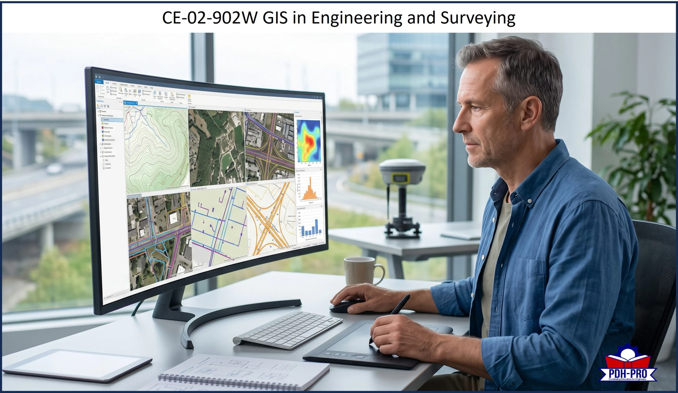
Geographic Information Systems (GIS) have become an essential tool for engineers, surveyors, planners, and technical professionals who work with location-based information. This 3-hour live webinar provides a practical introduction to GIS technology and explains how spatial data, mapping, analysis, and visualization are used to support better engineering decisions. The course covers the major components of GIS, including data, software, hardware, methods, and people, and explains how GIS helps professionals organize complex project information, identify patterns, evaluate site conditions, and communicate technical findings more effectively.
This Live Webinar course focuses on real-world engineering and surveying applications, including infrastructure planning, environmental assessment, transportation, stormwater and wastewater systems, land use analysis, emergency response, asset management, and project planning. The course also explains the relationship between GIS and GPS, helping participants understand how field data collection and spatial analysis work together in modern engineering practice. Although the examples include civil engineering and surveying applications, the course is suitable for professional engineers in all disciplines because GIS is increasingly used across engineering fields to improve planning, design, operations, risk assessment, and decision-making.
Course Audience
This webinar is designed for professional engineers, surveyors, project managers, planners, and technical professionals who want a practical understanding of how GIS is used in modern engineering and surveying practice. The course is suitable for all engineering disciplines.
Learning Objectives
This Live Webinar course is intended to provide you with the following specific knowledge and skills:
- Explain the basic purpose and function of Geographic Information Systems.
- Identify the major components of a GIS, including data, software, hardware, methods, and people.
- Describe how GIS is used to collect, manage, analyze, and display spatial information.
- Explain the relationship between GIS and GPS in engineering and surveying applications.
- Identify practical engineering applications of GIS, including infrastructure planning, environmental assessment, transportation, and asset management.
- Describe how GIS supports land surveying, mapping, site evaluation, and project development.
- Recognize the benefits of GIS for improving decision-making, communication, recordkeeping, and project efficiency.
- Discuss future opportunities for GIS technology in engineering, surveying, infrastructure resilience, and workforce development.
Note: This is a live webinar delivered via GoToMeeting. Login instructions will be emailed to you 24-48 hours prior to the webinar and the morning of the webinar. If you have not received your instructions for any reason please call customer support the day of the event. Webinars are live and interactive and students will have the ability to directly interact with and ask questions of the presenter.
We provide technical courses for PDH credits that meet Board requirements for Professional Engineers, Geologists and Land Surveyors. This course is guaranteed to be accepted in AK, AL, AR, FL, GA, IA, IL, ID, IN, KS, KY, MD, ME, MI, MN, MO, MS, MT, NC, ND, NE, NH, NJ, NM, NV, NY, OH, OK, OR, PA, SC, SD, TN, TX, UT, VA, VT, WI, WV, and WY. Before purchasing this course, please confirm that your state Board is listed above.